For the rest of the day Monday, conditions will pretty much stay the same an change overnight
A special weather statement remains in effect for Windsor-Essex.
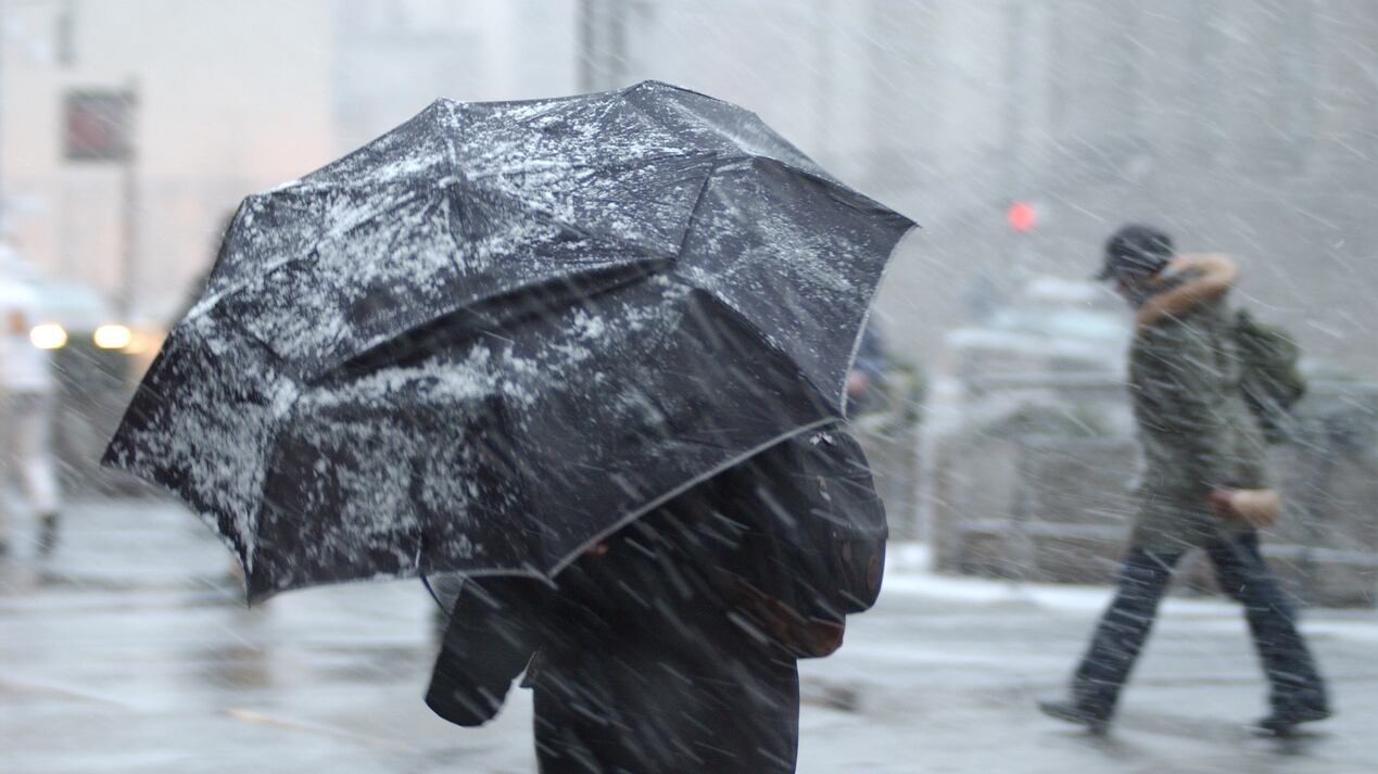
Environment Canada issued the statement over the weekend warning of a multi-day snowfall event continuing into Wednesday with snowfall amounts of 10 to 20 cm.
Meteorologist Peter Kimbell says for the rest of the day Monday, conditions will pretty much stay the same an change overnight.
"This evening the accumulation should start to begin," he says, "Temperatures falling below zero, winds continuing to gust at 50 km/h and five centimetres of accumulation tonight."
More snow is also on the way for Tuesday, according to Kimbell who says, "Two to four centimetres again tomorrow and it should be accumulating on the ground, certainly on the grass, and a high of plus one," he says. "So not terribly warm, not remotely close to what we saw yesterday."
Kimbell also says temperatures dropping Monday night could result in some icy conditions.
"Should remain above zero during the day today so roads shouldn't be bad today during the day but this evening with temperatures falling below zero, which they will with the low overnight -2 and continuing snowfall, yes, I would expect roads to become slippery.")
The special weather statement now points out that precipitation begain in Windsor-Essex this morning as rain, however, rain may be mixed with snow at times and change to snow this afternoon.