
It’s been a very warm start to the month of November for Windsor-Essex and much of Southwestern Ontario.
Environment Canada Warning Preparedness Meteorologist Geoff Coulson says it comes off the heels of a warmer than normal October.
“Again, not just for Windsor but a pretty big chunk of Southwestern Ontario as well,” says Coulson. “We had a couple more seasonal days recently temperature-wise, but we have now bounced back to above normal temperatures, expecting a forecast high today of 12 degrees, 16 degrees on Tuesday, and 13 degrees on Wednesday.”
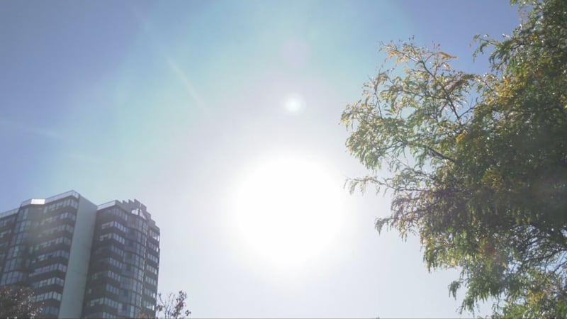
He says the long-term average high for this time of year in Windsor is nine degrees Celsius with overnight lows at two degrees.
Coulson says by the end of the week, Windsor-Essex will be back at seasonal temperatures, but it could change again next week.
“We already do see by Sunday, maybe even into next week, temperatures bouncing back again, expected to be warmer than normal,” says Coulson. “In fact, the overall forecast for November for the area is again warmer than normal temperatures for the Windsor area, not necessarily the high teens and low 20s that we saw to start off the month but certainly above normal temperatures expected to be the main situation for the region.”
He feels the temperature trend is strongly being influenced by a significant El Niño event going on right now in the Pacific Ocean.
“Much warmer than normal waters in the Pacific, normally that has an impact on our late fall and winter weather, but I think we’re already starting to see that impact right now,” he says.
Coulson says forecasters are keeping an eye on a system right now that could bring some showers to the area later this week.
As of today, Environment Canada says there is a 40 per cent chance of rain on Wednesday and another 40 per cent on Thursday and Friday.